 GDU

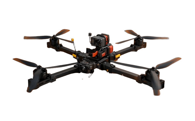 UUUFLY
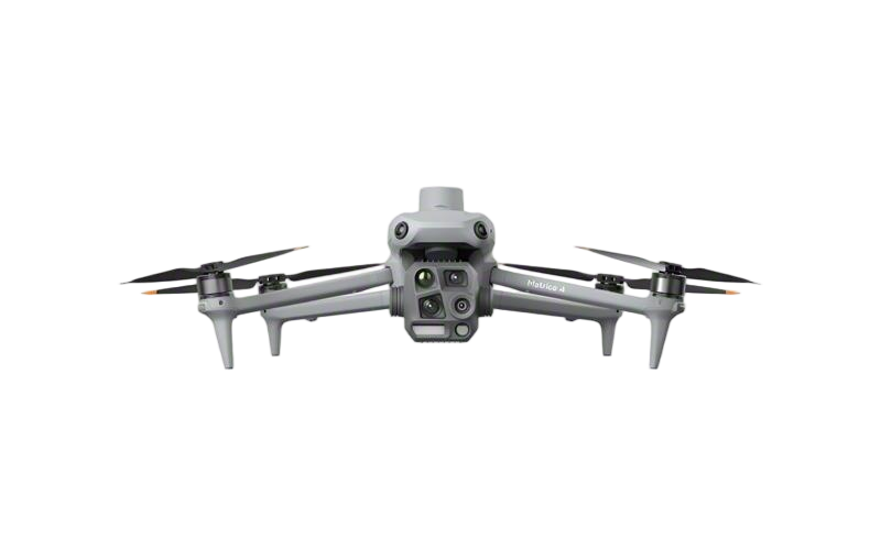 DJI
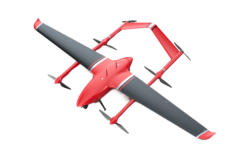 MMC
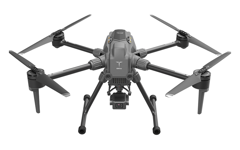 GDU
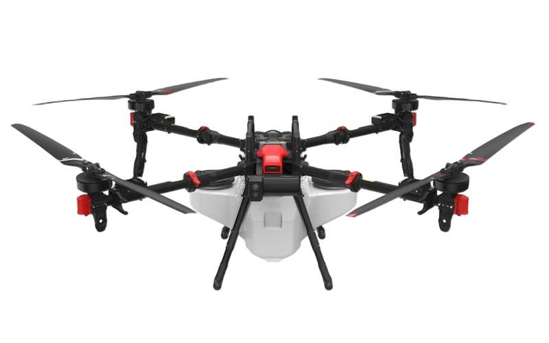 XAG
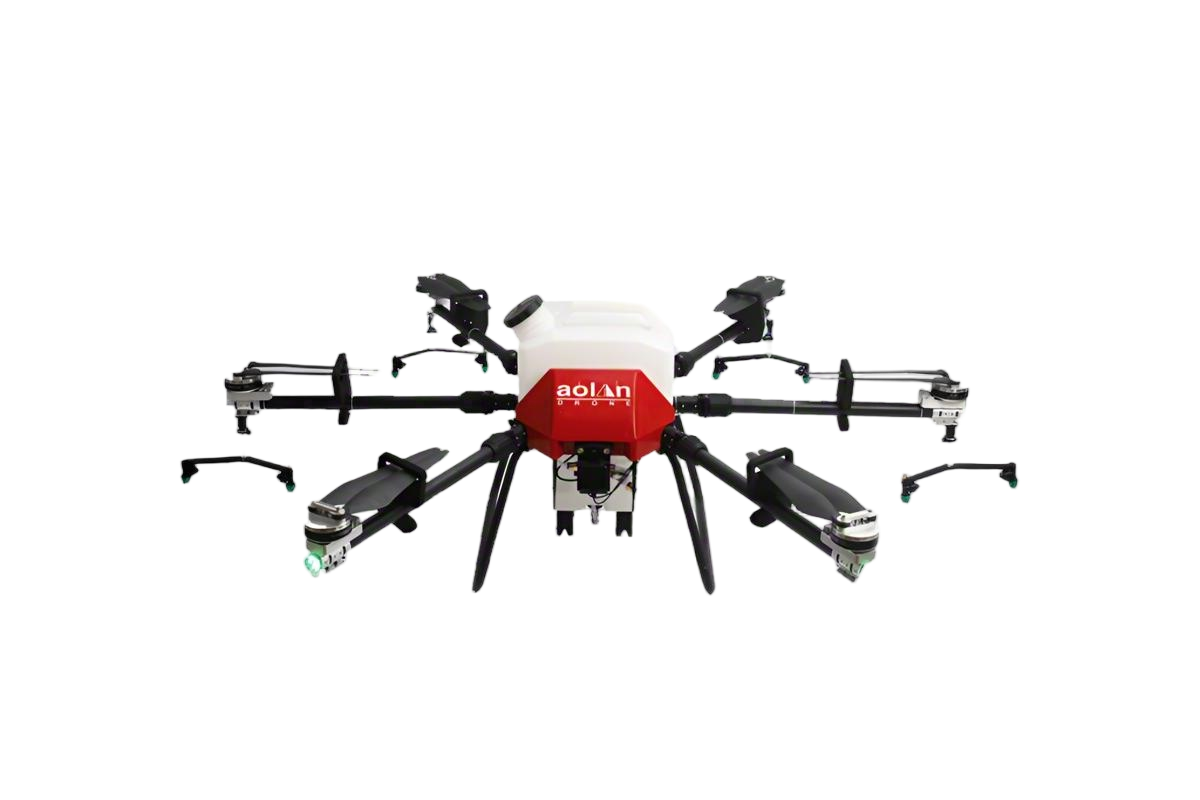 AOLAN
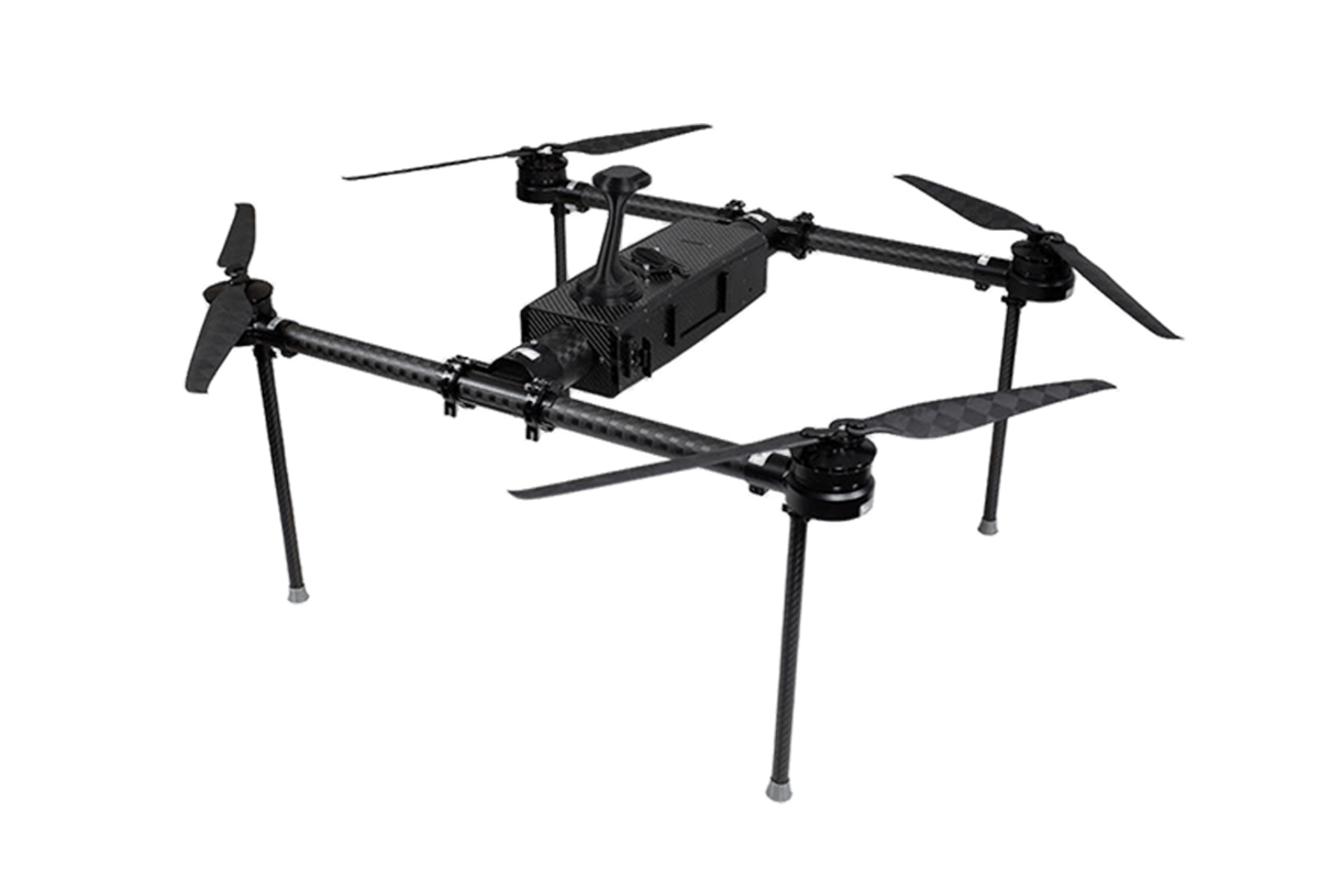 KEEL
 SKY NEXT
- DJI Matrice-4T
- DJI Matrice 4E Drone
- DJI Matrice 4TD
- DJI Matrice 30T
- DJI Mavic 3 Emterprise
- DJI Mavic 3M Multispectral Drone
- DJI RC 2 Plus Industry Plus
- DJI Matrice 4 Series Battery
- DJI Matrice 4D Series Batteries
- TB65 Intelligent Flight Battery
- TB100 Smart Flight Battery
- WB37 Battery
- DJI Accessories

Alright, so you're looking for the best business drone in 2026? Here's the thing – it's not really about the flashiest specs or the coolest features. It's about what you're actually gonna use it for. I mean, think about it: a roof inspector probably wants rock-solid, close-up imaging that doesn't wobble, while a survey crew needs consistent mapping and data they can rely on. And if you're into agriculture, you're probably more concerned with flight time, camera options, and how easy it is to fix in the field – top speed is kind of irrelevant. Honestly, there's no one-size-fits-all answer here.
So, you're diving into the world of drones, huh? This guide compares some big names—DJI, Parrot, Skydio, Wingtra, Freefly—but just so you know, the exact models and specs can change faster than you think. We're not just about pretty pictures in the sky either. We're digging into image quality, how they handle in the air, payload capacity, software, how much training you'll need, service and support, and the total cost of ownership—yeah, not just the sticker price. Here's the kicker: a drone that saves you five minutes in flight can still eat up hours if the data is a pain to process later. That's a detail that's super easy to overlook, trust me on that.
So, these comparisons? They're meant to help buyers match the gear to real tasks – from checking out a warehouse roof to documenting a construction site. But don't take them as gospel – you still need to check current manufacturer specs and test the system with your own workflow. Before you buy, double-check that the aircraft, accessories, training, and your planned operations all meet the necessary aviation, privacy, and workplace regulations. At the end of the day, a careful shortlist beats an exciting guess every time.

Define Business-Drone Needs Under FAA Part 107’s 400-Foot AGL Limit
A business drone should be chosen around the job, not just its camera. Under standard FAA Part 107 rules, flights generally must stay at or below 400 feet above ground level (AGL). AGL means height above the ground directly below the aircraft, not height above the launch point. That distinction matters on sloped sites.
For a roof inspection, a crew may need clear images of vents and flashing while keeping the aircraft within the applicable altitude limit. Part 107 allows flight up to 400 feet above a structure’s immediate uppermost point when the aircraft remains within 400 feet of that structure. This is a specific exception, not a general reason to fly higher. Airspace restrictions and authorization requirements still need checking before each operation.
Define the deliverable first: close-up photos, a site map, or repeatable progress records. Then assess required camera detail, flight time, wind tolerance, and safe operating distance. On uneven terrain, a planned route can drift closer to the 400-foot ceiling than expected. A ground observer and careful preflight measurements can help, though neither replaces sound judgment. I would test the workflow at a low-risk site before promising coverage times; real conditions can expose gaps in the plan.
FAQS
Start with the job, not the camera. Decide whether you need close-up photos, site maps, or repeatable progress records.
It means height above the ground directly below the aircraft, not above its launch point. Sloped ground can change the calculation.
A specific Part 107 exception allows flight up to 400 feet above a structure’s highest point, within 400 feet of it. Check airspace and authorization requirements before each flight.
Match the camera or sensor to the deliverable. Check image detail, flight time, wind tolerance, and safe operating distance.
Compare the sensor’s weight with the aircraft’s rated payload. Then estimate flight time with the equipment attached. Battery swaps add time.
Score payload, support, and total ownership cost. A sample weighting is 35%, 35%, and 30%, but mission needs may change it.
Include batteries, repairs, training, storage, and expected downtime. A low purchase price can hide recurring costs.
Use the actual sensor and a full workday schedule at a low-risk site. Record setup time and battery changes. Recheck estimates after a month; I might have underestimated setup delays.
Conclusion
Choosing the best Business Drones in 2026 starts with the job: inspection, surveying, mapping, or public safety. Operators should plan missions within the FAA Part 107 limit of 400 feet above ground level and confirm that the aircraft’s capabilities, training needs, and operating procedures fit the work. Endurance matters, but published flight times are estimates; some enterprise models list up to 55 minutes, while payload, weather, and mission conditions can reduce practical time in the air.
For mapping, assess the full workflow—including sensor quality, processing, and whether results meet the positional-accuracy standards relevant to the project, such as ASPRS guidelines. U.S. Remote ID requirements have been effective since March 16, 2024, so verify that each candidate and operating plan address them. A useful comparison ranks aircraft by payload capacity, support and service options, task-specific performance, and total cost of ownership, including training, software, batteries, maintenance, and data handling.
Related Posts
-

How to Choose Enterprise Drones for Your Business?
-

Why Are Business Drones Essential for Global Buyers?
-

China Top 10 Enterprise UAV Manufacturers for Global Buyers
-

China Top 10 Professional Drone Manufacturers?
-

How to Choose the Best Business Drones for 2026?
-

Top 10 Business Drones in China for Global Buyers Guide?
